


CARTERVILLE (WSIL) -- It was cloudy and cool start to the week, with a few light showers. However, most of the day has been dry and gloomy. Light showers will be possible through the remainder of the evening and overnight, primarily in western Kentucky and northwest Tennessee. Most will stay dry.
A front will wobble near the area through most of the week, keeping the rain chances around. Best chances for rain will be as multiple disturbances move over the boundary.
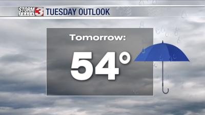
Scattered showers are more likely Tuesday, but it will not be a washout. The best chances will be in the afternoon and evening. Keep an umbrella nearby, but there should be plenty of dry time.
Wednesday our boundary will move south. This will keep the better chances for rain across the southern half of the area. It should be another day with plenty of dry time, especially for the northern half of the region.
Thursday will bring the best chance for widespread and heavy rain. It will be the closest day to a "washout", possibly with a few rumbles of thunder.
Rainfall amounts will range from under 1" along the I-64 corridor, to more than 2" across much of western Kentucky. Stay dry!