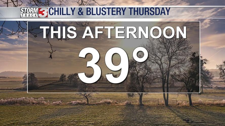


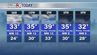


WSIL -- Cool and blustery this morning with temperatures hovering in the low to mid 30s, but the wind making it feel like the mid to upper 20s.

Clouds this morning will gradually shift east during the day. There will be more sunshine in southeast Missouri and far southwest Illinois, while clouds remain in place through much of the afternoon in the Wabash Valley. Temperatures under the clouds will only be in the 30s, but the sunshine will bring readings into the 40s, especially in Missouri.
High pressure builds in Saturday, turning light winds to the southwest by the afternoon. This will bring temperatures into the low to mid 40s.
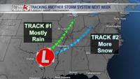
A weak, fast moving storm system will push light rain into the region around midnight Saturday night. There's a chance some rain changes over to snow early Sunday morning. Accumulation is unlikely due to the light nature and temperatures remaining above freezing.
Quiet weather returns Monday with temperatures back into the low to mid 40s through Tuesday.

A bigger storm system is set to arrive Tuesday night. There is still a lot of uncertainty regarding the exact storm track, but this is a pattern that is favorable for winter weather somewhere near our area. Stay tuned, more details to come as we get closer!