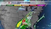


Tonight into Monday morning, another boundary can bring an additional round of showers and thunderstorms. While widespread severe weather isn't expected, we can't rule out a few gusty storms, but the better risk is N&W. By mid-morning Monday, most spots should clear out.
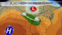
Beyond that, into Tuesday and Wednesday should bring drier weather to the region, with temperatures near to slightly above normal and lower humidity. By Thursday, moisture returns, bringing a chance of showers and storms each day into next weekend. It's still too early to tell if these storms will pose a severe risk, but we will be monitoring the forecast closely and provide updates as needed. As we head into next weekend, summertime humidity levels will return.