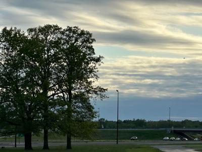


CARTERVILLE, Ill. (WSIL) -- Rain is continuing to move through and exit our area with clouds starting to thin out.
Tonight we will see temps dip into the upper 50s with winds settling down to a gentle breeze.
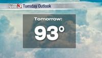
Tomorrow will bring some temporary drier weather with things heating up quickly. Monday is expected to hit mid 80s by the late afternoon hours with mostly cloudy conditions. Temperatures will stay warm into the night.
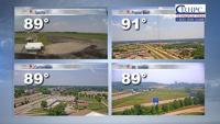
Tuesday will be cloudy with a chance of thunderstorms throughout most of the entire day. We wake up in the lower 70s and will only fluctuate a couple of degrees throughout the day. Confidence is growing for storms on Tuesday and we are in a level 2 Slight risk for severe weather.
Later in the week, more thunderstorms are possible and temps are expected to remain on the warmer side.