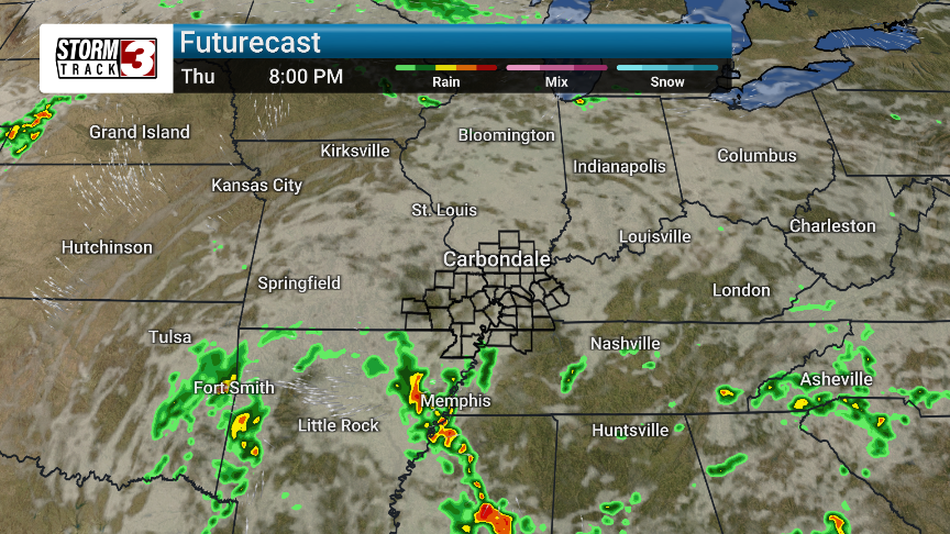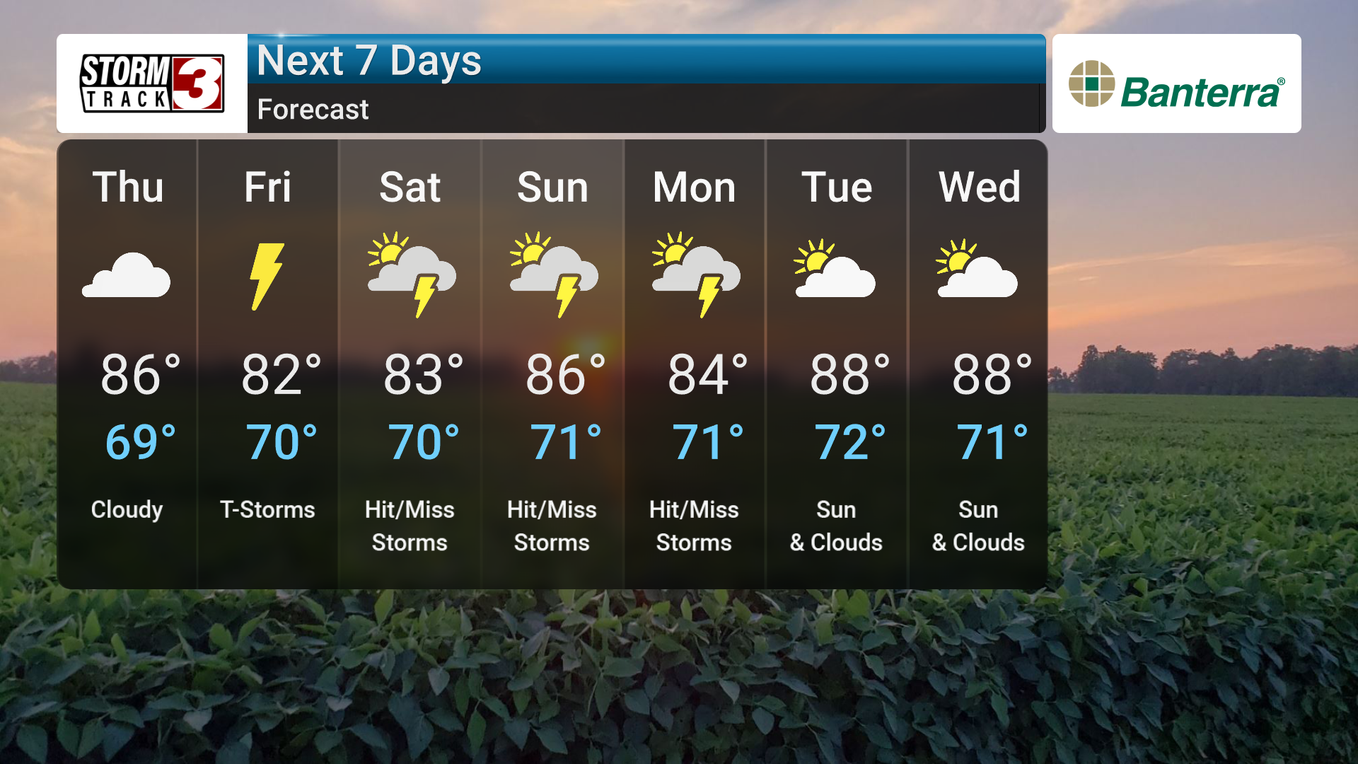


Summer-like temperatures are on their way back to the region, but they're bringing daily storm chances with them.
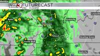
Over the next couple of days, southerly winds will increase humidity, setting the stage for scattered thunderstorms starting Friday. A weak low-pressure system moving over the Mississippi Valley will trigger these storms, which will primarily develop in the afternoons and evenings.
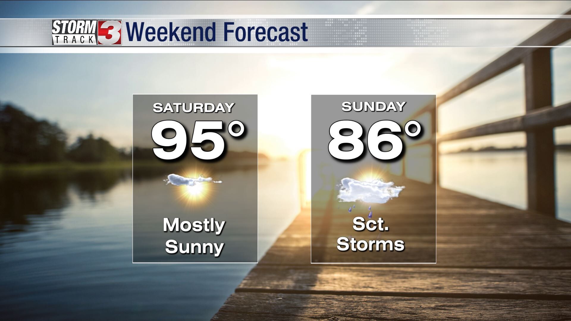
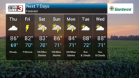
While the highest chance of rain is expected Saturday, the unsettled pattern will likely persist into early next week. Temperatures will be near or slightly above normal for this time of year, reaching the low to mid 80s.