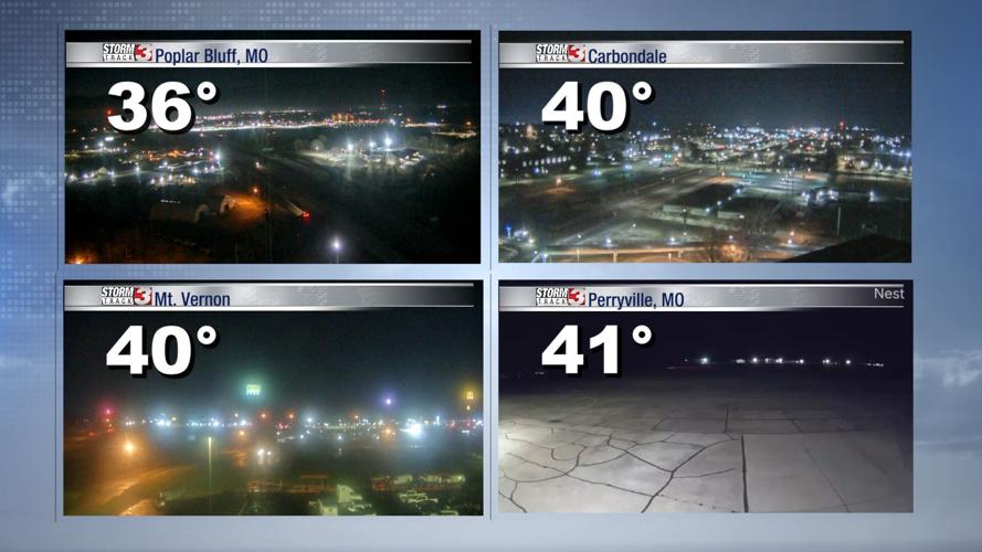
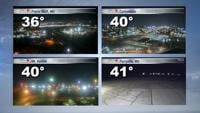


WSIL (Carterville) -- It's a fairly mild start to the day considering this time of the year, but that doesn't mean you won't want a sweater. A few isolated showers are still sticking around areas north of route 13, but no rumbles of thunder is expected.
Temperatures are somewhere between the upper 30s, low 40s and as we head into the afternoon highs will be much warmer than yesterday with the 50s.
Sunshine will make a brief appearance mid-morning before clouds fill in this evening.
Wednesday and especially Thursday, are trending to be the nicest days this week with seasonal highs and quiet conditions.

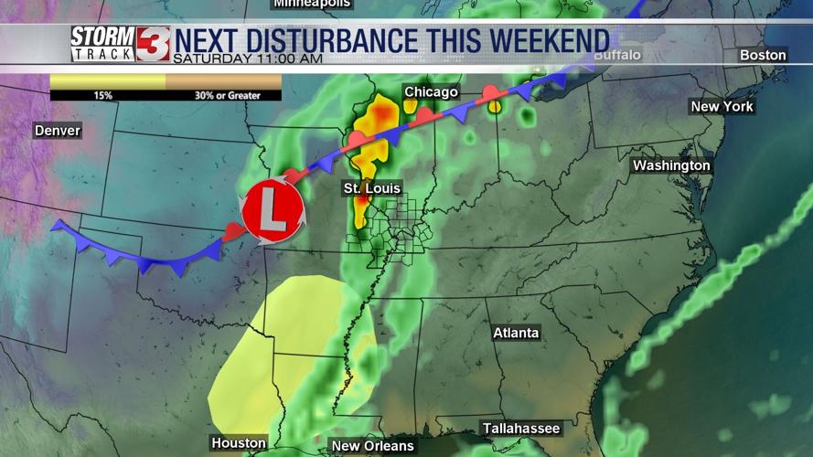
We're continuing to keep an eye on Friday night and this weekend as the next disturbance makes its way through. Rain will likely begin in the late evening hours of Friday, turning widespread overnight into Saturday morning.
Once the system passes, we'll see much cooler temperatures fill in. The question still remains if the cool air will fill in while we could also be seeing wrap around moisture. This could lead to a bit of a wintry mix for yet another Sunday.
Good news is this isn't trending to be a severe event for us, but more so for our friends further south. We also won't see a lot of snow either, even if the conditions do line up for a wintry mix.