
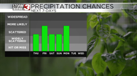

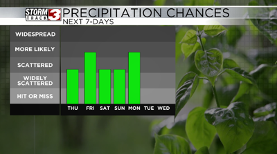

CARTERVILLE Ill. (WSIL) -- Aside from a few showers in southeastern Missouri, it has turned out to be a nice Thursday. More scattered showers and storms are expected through the southern half of the region overnight, with more widespread activity Friday.
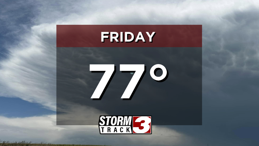
Multiple rounds of showers and storms are likely Friday. The first round through the morning hours, followed by more in the afternoon and evening. The severe weather threat looks to stay to our west, however an isolated strong storm is possible as they move in. There will be some dry time mixed in, but off and on rain is likely. Keep an umbrella on standby.
A few showers and storms could linger into Saturday, but chances are slightly lower than Friday. Most of the day Sunday looks to be dry, before yet another round of storms is set to arrive Sunday night. A widespread soaking rain with a few thunderstorms is likely.
Aside from the rain chances, it'll start to feel more summer-like. Dewpoints will climb back into the 60s, making it feel a bit sticky. Meanwhile high temperatures will rise back up near 80 degrees.