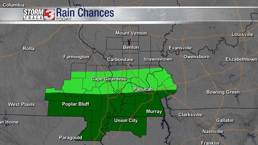


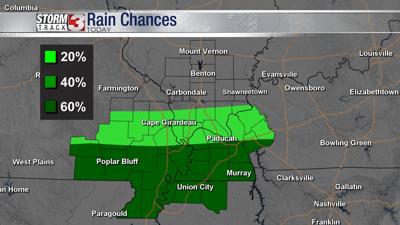
WSIL -- A cold front is dropping south, ushering in cooler, less humid air across southern Illinois, however, scattered showers and storms remain possible near the Missouri/Arkansas and Kentucky/Tennessee line.

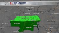
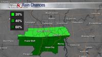
Rain chances will be focused primarily in the south part of our viewing area Friday and Saturday. The Missouri Bootheel and western Kentucky will be dealing with rain. Cloudy skies and a north wind will bring drier air to areas of Illinois along with cooler temperatures with highs in the lower 80s.
As the boundary begins to move back north Sunday, so does the chance for scattered showers & storms. Sunday could end up being a fairly wet day with a wave of showers & storms bringing pockets of heavy rain and lightning being the main threats.

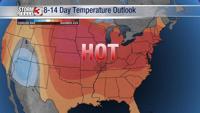
The rain begins to move out once again early next week, setting the stage for the next heat wave to begin.