

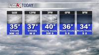


WSIL -- Cloudy and near seasonal temperatures are expected today and tomorrow with afternoon highs in the lower 40s. All eyes are on a potential winter storm heading our way by the middle of this week.

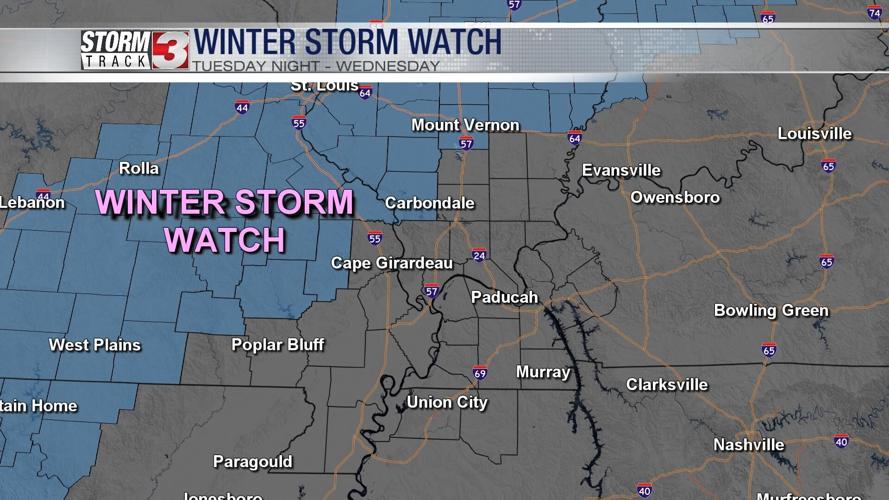
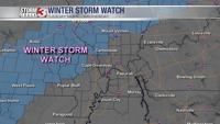
A Winter Storm Watch has been issued from Tuesday 6 p.m. to Wednesday 12 p.m. for:
Illinois counties: Jefferson, Jackson, Perry, and Randolph
Missouri counties: Perry, Bollinger, Madison, Wayne, and Carter

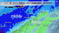
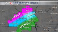
While confidence is high that the heaviest snow will fall in the Winter Storm Watch, confidence decreases rapidly farther south. Areas along the Ohio River in southern Illinois may see a mix of snow and rain with rain becoming the predominant precipitation type in western Kentucky.

Precipitation will begin to move in after sunset Tuesday evening. Initially, this may start as all rain, even in southern Illinois and western Kentucky. As the rate of precipitation increases, the atmosphere will cool, leading to a quick change over to snow in Illinois and Missouri. The heaviest snow is expected overnight and through the early morning hours on Wednesday.

Temperatures may never go below freezing, hovering 32-34º during the heaviest snow. The heavy snow rates will make up for the lack of cold air with travel impacts likely, especially along and northwest of a line from Cape Girardeau, Missouri to Marion, Illinois.
By Wednesday afternoon, lingering flurries or even a few light snow showers will remain possible. Temperatures still remaining above freezing will likely lead to improving road conditions into Wednesday evening.