

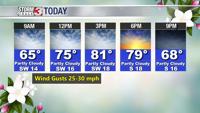


WSIL -- Much warmer this morning, enough that you may not need a jacket with temperatures in the upper 50s.

Winds will be stronger today with southwest gusts up to around 30 miles per hour. Despite that, this afternoon will be the warmest of the week with temperatures climbing into the lower 80s.

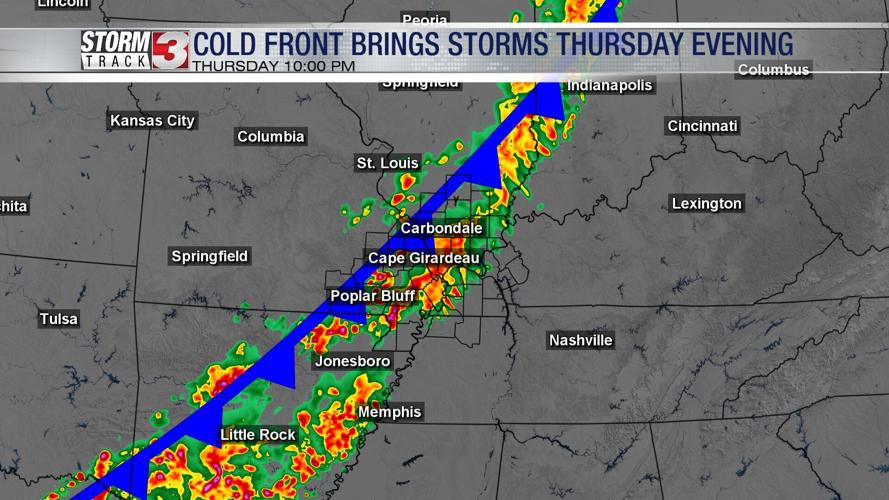
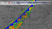
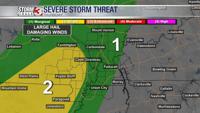
Warm, dry weather will remain in place through early Thursday afternoon. Rain chances will ramp up Thursday evening as a strong cold front approaches the region. Initially, a few storms could be strong with hail and strong winds, but as the sun sets, instability will wane and the severe storm risk will also go down.
There will likely be a break in the rain by mid-morning on Friday and into the early afternoon. A secondary storm system developing to our south will likely bring another wave of showers into the region late Friday afternoon and into the evening.
While the severe storm threat is low, there is some concern with flooding. Rainfall amounts will likely top 1" in many areas with totals over 2" possible in western Kentucky.
Once the cold front completely exits to the south, then the colder air will move in for the weekend. Highs Saturday and Sunday will only be in the 50s.
Sunday and Monday mornings will be in the 30s and patchy frost is possible.