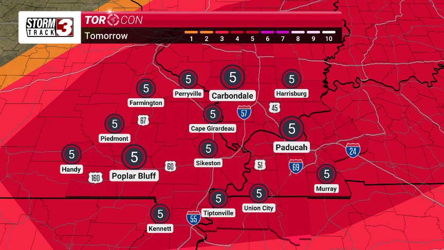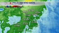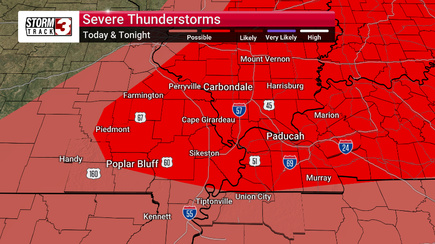
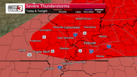

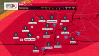

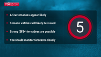
CARTERVILLE, Ill. (WSIL) �� Today, there's a possibility of strong storms. If they form, they could produce very large hail, tornadoes, and damaging winds. The likelihood of more significant severe weather grows on Friday afternoon and evening. While widespread damaging winds look like the main threat, strong tornadoes and large hail cannot be ruled out.
Looking ahead, we'll see more storms from Sunday night through Wednesday. The middle of next week, specifically Tuesday and Wednesday, looks like it could have the biggest chance for severe weather, so stay tuned for the latest updates.
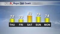
Today will be warm, with afternoon thunderstorms expected, possible severe. The high will be in the mid 80s, and the low will be in the mid 60s.
Friday is also expected to be warm, with strong to severe thunderstorms likely. The high will be in the mid 80s, and the low will be in the low 60s.
Saturday will be mostly sunny with a high in the upper 70s and a low in the upper 50s.
Sunday will be mostly cloudy with a high in the upper 70s and a low in the low 60s.
Monday could bring a few thunderstorms, with a high in the mid 70s and a low in the mid 60s.
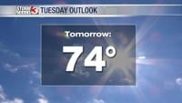
Tuesday may see scattered thunderstorms, with a high in the mid 70s and a low in the low 60s.