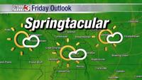
CARTERVILLE, Ill. (WSIL) -- We are looking ahead to the weekend where we are forecasted to see some storms roll through the area on Sunday.
As of Friday evening, clouds will continue to stick around and there could be an isolated shower begin to move into the area. Winds will calm a little overnight, however, there will still be around the 10 - 15 mph range through overnight with temps only dipping into the mid 60s.
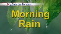
Saturday, we will see more rain move in with precipitation chances increasing with some thunder and lightning. Temps will stay steady in the mid to upper 60s.
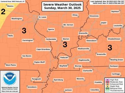
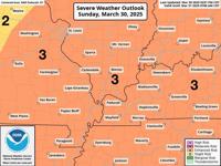
On Sunday, this is what you need to really pay attention to. We will see a storm system move through the area, which is expected to bring with it some severe thunderstorms which will drop hail, bring high winds with gusts up to 60 mph or more, and tornadoes.
The entire region is currently in an enhanced risk (Level 3 of 5) for severe storms. The timing of this storm is for the late morning and early afternoon hours in the southeast Missouri area, through early Monday morning on the east side of our coverage area.