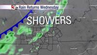


CARTERVILLE, Ill. -- The first round will likely arrive in our western most counties as early as 5 a.m. Sunday morning and track from west to east. This round will primarily be a line of storms, with the primary hazards being the potential for damaging winds and a brief spin-up tornado along the leading edge.
This line should exit the area around 9 a.m. or 10 a.m. Sunday morning.
Behind this line we could see a second line develop and track west to east, and be capable of producing the same hazards. There is some uncertainty with this second line, but if it does develop, we could see it exit the area around noon to 1 p.m.
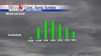
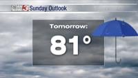
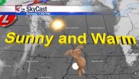
We will see a little bit of a break during much of the afternoon hours, and we may even see the sun come out. Highs tomorrow could be in the low to mid 80s. Those highs will be highly dependent on how much sun we see.
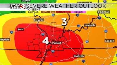
Any sun we do see will provide fuel for yet another round of storms. We could see supercell thunderstorms develop after 4 or 5 p.m. If they develop, they will be capable of producing large hail, damaging winds, and tornadoes. after about 7 to 8 p.m., we will see a final line of showers and storms enter the area and it will track from northwest to southeast through the late evening.
This line will be capable of producing damaging winds, tornadoes, and large hail. This line will exit around midnight to 2 a.m. Monday morning. Once this line passes, the severe weather threat will be over.
In addition to the severe weather potential, there is also the potential for localized flash flooding due to several storm chances. For this reason, there is a flood watch for the entire area from 1 a.m. Sunday morning through early Monday morning.
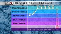
Once the front passes Monday morning, a mild and sunny pattern will dominate next week. Highs will be in the mid to upper 70s Tuesday through Friday.