WSIL(Carterville, Ill.) -- This evening, we are tracking temperatures that are in the upper 40s to upper 50s, which is about 20 to 30 degrees colder than where we were this time yesterday. Skies are mostly cloudy to overcast.聽
For the remainder of the evening, we are tracking skies that are going to be mostly cloudy through 7 PM, and then clear in the overnight hours. Temperatures will be in the mid to upper 40s through and, then drop into the lower 40s by midnight. Due to those clear skies, we will see temperatures that will reach the mid to upper 30s for tomorrow morning lows.聽
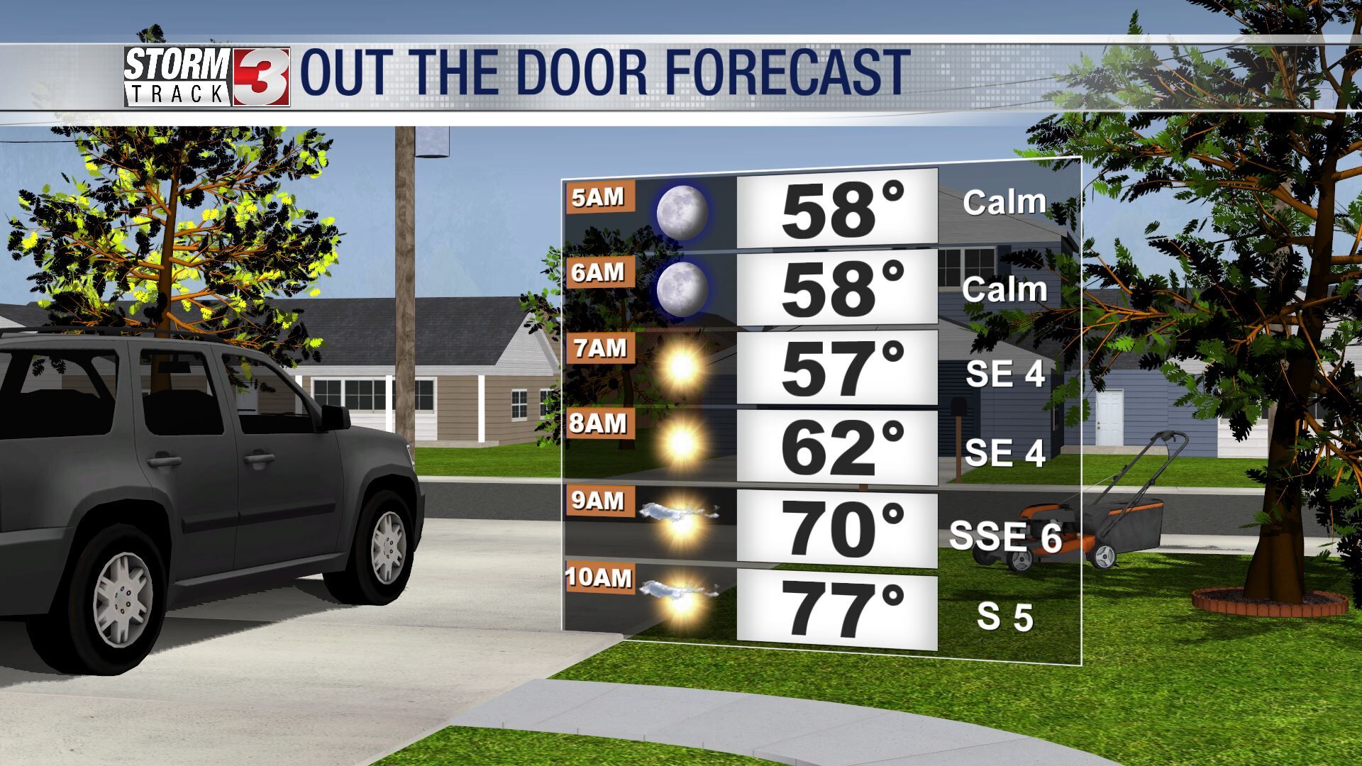
Tomorrow will be partly to mostly cloudy through most of the day, with temperatures that will reach the low to mid 60s for high temperatures areawide., with winds that will be out of the south-southeast at 5 to 10 miles per hour.聽

Wednesday will certainly be a day to watch for the potential of severe. The entire region is in an enhanced risk for severe weather, with all hazards possible, including the potential for large hail, damaging wind, and tornadoes, some of which could be on the stronger side. The window for severe weather, for the entire region, should be between 1PM and 10PM. Again, this a broad window, and will change as more details come out.聽
Perhaps more concerningly, we are tracking the potential for significant rainfall and subsequent flash flooding between Wednesday and Sunday. This is due to a frontal boundary that will stall out, and give us lots of widespread rain. rainfall totals for southern Illinois cupid be between 4 and 8 inches, with聽locally higher totals as high as 10 to 12 inches.聽