
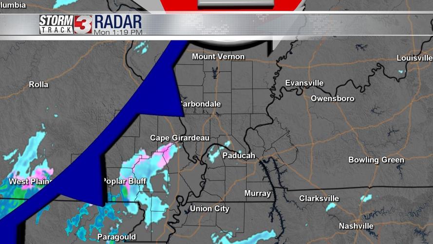


WSIL (Carterville) -- We woke up to more snow on the ground this morning thanks to a fast moving clipper that will dove southeast. Areas picked up somewhere between a dusting to 2 inches, with SEMO and Western Kentucky seeing the lesser amounts.

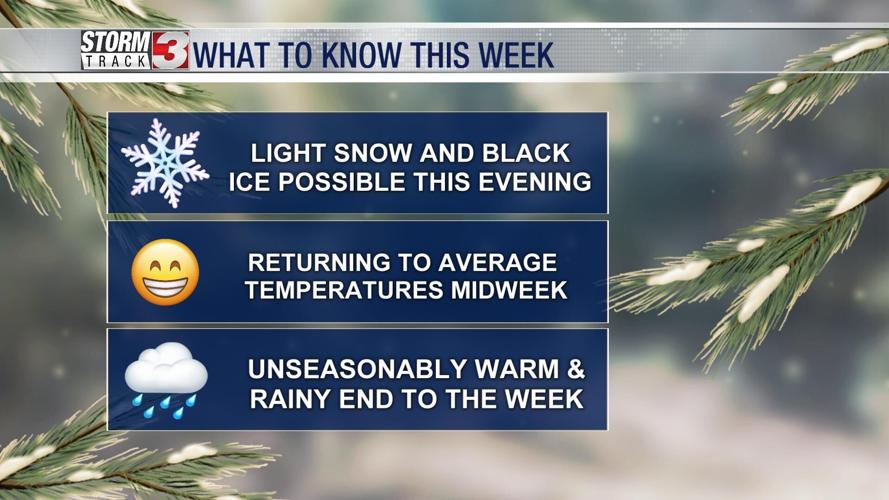
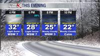
We still have another round of snow this evening thanks to a cold front pushing through, which could mean trouble for anyone on the roads tonight. The light snow chance will be between 1 PM and 8 PM.
Black ice and slick spots are very possible since this cold front will send our temperatures back down. Lows will fall in the mid-teens overnight.

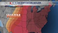
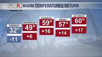
By mid-week we'll return to an unseasonably warm trend and stay with it through the new year. Unfortunately if you do have any weekend plans, you'll need an umbrella.