


CARTERVILLE, Ill. (WSIL) -- The storms on Friday brought high winds, large hail, possible tornadoes and rain.
There were many tornado and severe thunderstorm warnings issued with these storms as they moved through the region.
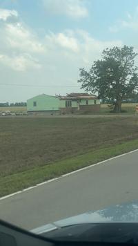
In Scott County, there was a report of storm damage to a cotton bin and at least one home. In other areas, up to tennis sized hail was reported.
Here is a breakdown of damages across the area...
Missouri
Bollinger County
- Zalma - 2.75 inch hail
Cape Girardeau County
- Jackson - Tornado warned storm, debris spotted
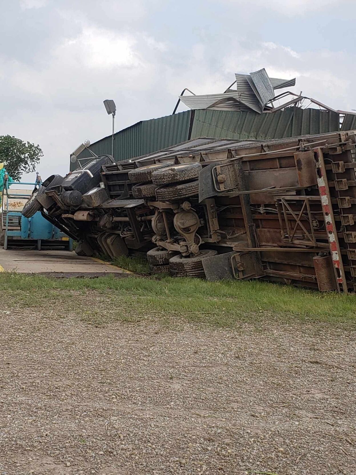
Scott County
Vanduser
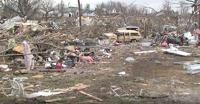
- Reported tornado touchdown with multiple structures damaged
A large tornado formed in the south part of Scott County and crossed over I-55.
Illinois
Jackson County
- Murphysboro - 1.75 inch hail
Williamson County
- Carterville - .5 inch hail
- Herrin - 55 mph wind gust
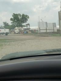
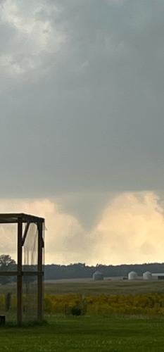
- Carrier Mills - Possible tornado/funnel cloud
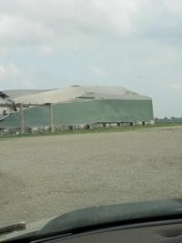
- W. of Carrier Mills - Multiple homes severely damaged - no reported injuries at this time
- S. of Marion - Multiple homes severely damaged near Quarter Horse and Highway 37 - no reported injuries at this time

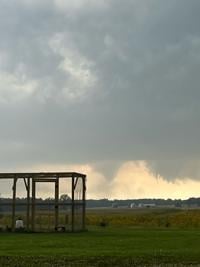

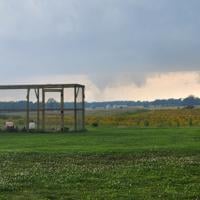

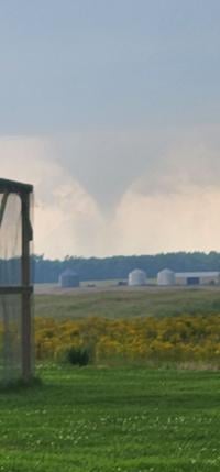
Carrier Mills funnel cloud
Pulaski County
- Mound City - 1.25 inch hail
Kentucky
Ballard County
- Barlow - 4 inch size hail
We will have more reports as they become available.