

Carterville Ill. (WSIL) -- That heat is not letting up! Temperatures soaring into the mid 90s today across the region. Not expecting any cloud cover over the region as high pressure is anchored over top of us allowing full sunshine all day. Tonight expect a warmer evening overall with temperatures staying in the low 80s through most of the evening before cooling off into the low 70s by Tuesday morning

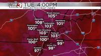
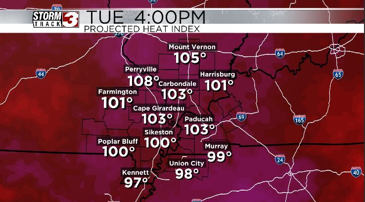
Tuesday expected to be one of the warmest day of the next stretch. A few of us certainly have a chance to top out at 100 with our temperatures. Again, another day where clouds will be mute and sunshine prevails. Thankfully for us our dewpoints look to stay in the 60s through this event and that helps keep our reel feel temperatures around 100-105 through the duration. This is still a prolonged bout of hot weather and proper precautions should be taken to stay cool regardless.
Wednesday and Thursday look to feature at least a little more cloud cover which may help limit temperatures into the upper 90s. Still we continue with the dry streak and I have a good feeling an expansion of drought conditions will arise in the next drought report on Thursday.
Some relief is on the way as a cold front approached on Friday giving us the chance for some storms and a return tot he 80s behind the front.