


CARTERVILLE Ill. (WSIL) -- It was another very hot day across the region, but a brief break is around the corner. A cold front will finally work it's way through the region bringing us a "cool" down by Friday.
Scattered showers and thunderstorms will be possible overnight. Brief heavy rainfall and lightning will be the main threats. However, an isolated strong storm can't be ruled out. Gusty winds would be the main threat.
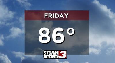
Cooler and less humid air will push into the region Friday. It will still be warm but much more comfortable than the rest of the week. High temperatures will top out in the mid to upper 80s, accompanied by a northwest breeze. A stray shower or storm may pop-up in our eastern counties, but most will remain dry.
The heat won't be gone for long. Seasonably warm temperatures return through the weekend, with high temperatures climbing back up near 90 degrees. Mid 90s are set to return next week.