

CARTERVILLE (WSIL) -- It was an unseasonably warm start to February but more winter weather is on the way.

If you have any last minute errands you need to run ahead of the winter weather, tonight and during the first half of the day tomorrow are your best bet. The chance for showers will slowly increase throughout the evening with warm overnight temperatures.
The first half of the day Wednesday will be soggy. Widespread rain is how we will kick off the winter event. By the afternoon temperatures will begin dropping ushering in the switch to a wintry mix.
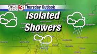
The transition to freezing rain and sleet will begin in our northern counties first, before spreading southeast and ramping up during the overnight hours. The winter weather will then likely stick around through Thursday.
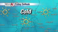
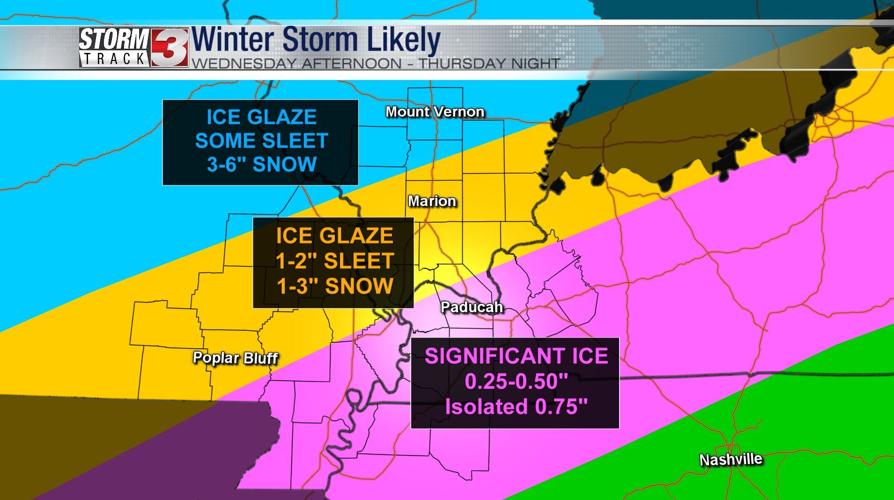
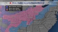
The National Weather Service has already issued a Winter Storm Warning for nearly the entire viewing area. Travel will be very difficult Thursday and Friday. Southern Illinois is expected to pick up more sleet and snow with amounts between 3-6 inches.

Folks a bit further south into western Kentucky and the bootheel of southeastern Missouri will likely see more freezing rain. Freezing rain accumulations between 0.25 and 0.50 inches are likely with isolated higher amounts. Downed tree limbs and power outages will be possible.
You can stay weather aware by downloading the Storm Track 3 weather app here!
Tune in tonight on News 3, for more information. We've got you covered.