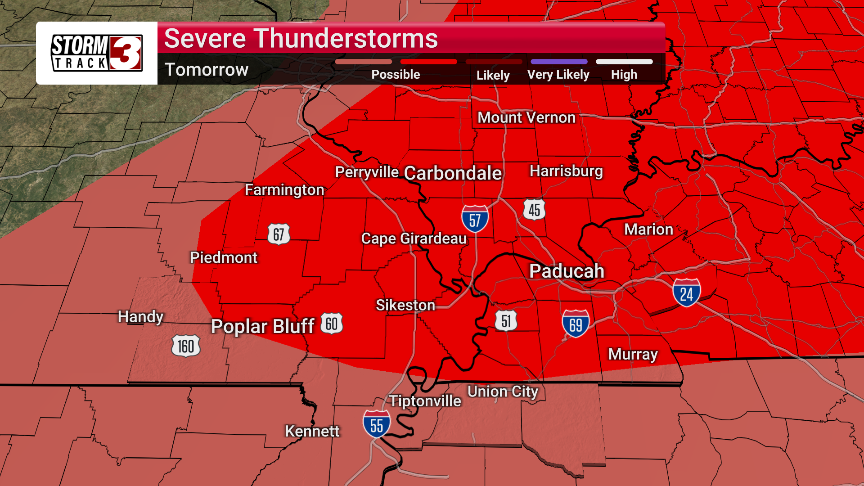


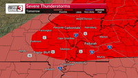

CARTERVILLE, Ill. (WSIL) �� Residents across the area should brace for potentially severe weather starting tomorrow and continuing into the weekend.
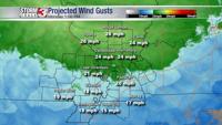
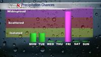
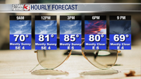
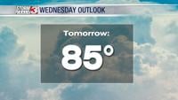
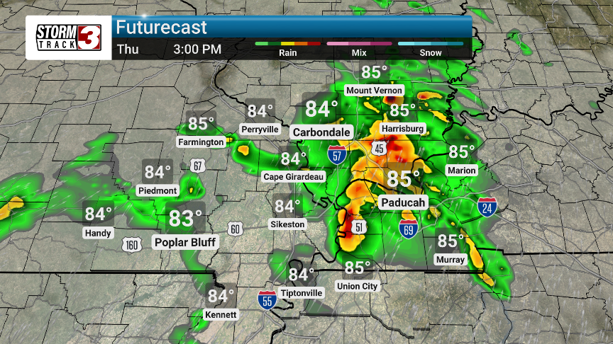
Thursday will bring mostly cloudy skies and hotter than normal temperatures, with a high of 87 degrees. Winds will be breezy, coming from the south-southwest at 10 to 20 mph. While the day may start quiet, the atmosphere is primed for isolated severe thunderstorm development in the afternoon. The main threats with any storms that form include damaging winds, large hail, and even tornadoes.
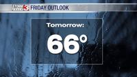
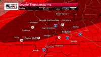
The threat of severe weather ramps up significantly on Friday. Partly cloudy skies in the morning will give way to scattered thunderstorms in the afternoon, with a significant threat of severe storms. The environment will be capable of supporting intense and long-lasting intense thunderstorms, again with the potential for large hail, damaging winds, and tornadoes. Locally heavy thunderstorms are expected Friday night.
While the immediate severe threat should diminish by Saturday, the unsettled weather pattern will persist. Saturday will be mostly sunny with a high of 84, but showers could return late in the day and into Sunday. Sunday will see rain showers early, transitioning to mostly cloudy conditions with a high of 79.
Looking ahead to early next week, the chance for scattered thunderstorms remains, with slightly cooler than normal temperatures expected. Residents are urged to stay weather-aware and monitor local forecasts for the latest updates.