Summer is holding on with all its might right now as the month of September nears its end.
WSIL -- Summer is holding on with all its might right now as the month of September nears its end. This morning, many will likely get by without a jacket or sweatshirt as temperatures are running well above average in the lower 60s.

Much like Monday, temperatures will soar thanks to south winds and tons of sunshine. Afternoon highs will be in the mid to upper 80s, well above average for the end of September.

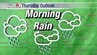
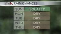
The summer-like temperatures stick around through Wednesday, but a backdoor cold front working in from the east will begin to increase rain chances. It starts with a few pop ups over southeast Missouri Wednesday afternoon and leads to more areawide scattered storms Thursday, Friday, and Saturday.

Over time, temperatures will gradually cool, highs dip back into the 70s by the weekend.


