
WSIL �� A few light showers around this morning, but most are only picking up 0.10�� or less.
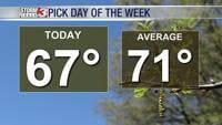
Very warm and humid air has returned, with afternoon temperatures in the low to mid 80s through the weekend.
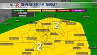
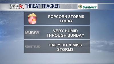
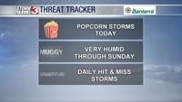
Pop up showers & storms are possible each afternoon, but they will remain very spotty. The main threat is heavy rain and lightning, but an isolated strong storms with small hail and gusty winds is possible.
Temperatures Saturday and Sunday will be a little warmer with highs in the mid 80s and it will be joined with the muggiest air we have seen so far this season.
Our next cold front arrives Monday, shifting the humidity and the rain chances south for next week.